Hulton Archive / Getty Images
We warn readers that the content of this study is confronting and may be distressing.
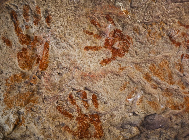
In April 1789, the first smallpox epidemic among Aboriginal people in the Sydney region began, just 16 months after Europeans arrived on the First Fleet.
Little is known of the true scale of the epidemic, and historians have sometimes argued it was not caused by the newcomers.
In new research published in Nature Human Behaviour, we used modelling of smallpox transmission and the connections between Indigenous societies to understand how it could have spread.
The results strongly suggest the disease did come from the British outpost. What’s more, it might have spread thousands of kilometres north and west, lasting decades and killing as many as 220,000 Aboriginal people.
A destructive force throughout history
Infectious disease has long been one of history’s most destructive forces. The COVID pandemic, which killed an estimated 15 million people in 2020–2021, is only the most recent entry in a list including the Black Death, which killed up to half of Europe’s population in the 14th century, and the “Spanish” influenza of 1918 that was responsible for some 17 million deaths.
One of the earliest recorded – and most feared – diseases was the now-eradicated smallpox, caused by the variola virus.
Evidence of smallpox has been identified in Egyptian mummies dating to as early as 1500 BCE. In 18th century Europe, an average 400,000 people died every year from smallpox. An estimated 300 million people died of the disease during the 20th century, about double the total deaths from wars fought during the same period.
For Indigenous peoples around the world, smallpox was one of the most devastating diseases introduced by Europeans. The disease was a major driver of the catastrophe that killed countless Native Americans from Canada to Tierra del Fuego after the arrival of Spanish and Portuguese in the 16th century.
Smallpox caused fever, severe illness, and high death rates, especially in Indigenous populations with no previous exposure. Survivors were left with severe scarring.
What caused the 1789 smallpox epidemic?
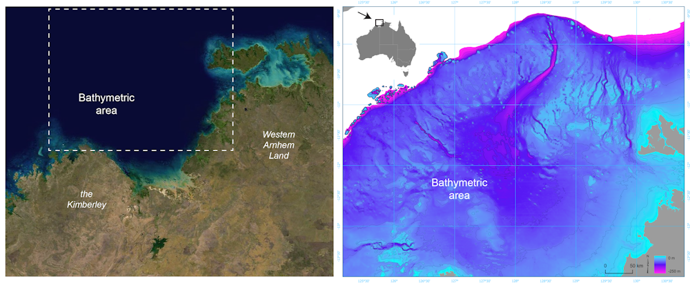
A persistent narrative in Australia’s colonial history is that the disease did not come from the First Fleet. Instead, the argument goes, it was introduced earlier by Makassan traders in the far north of the country. Supporters of this idea proposed that it just happened to make its way to Sydney by the time the British established a colony there.


